Announcements
| What's New at MTNHP... |
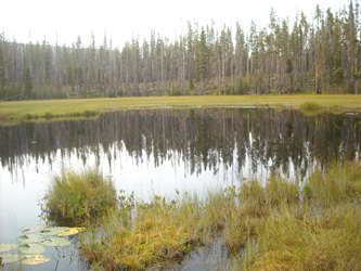
Wetland Assessment & Monitoring
Wetlands provide critical biological and economic benefits such as habitat, flood attenuation, and groundwater recharge. Wetland assessment and monitoring programs are essential to report on the ambient condition of wetland resources and provide tools to evaluate the effects of mitigation and restoration practices, target wetland restoration and conservation efforts, and track the impact of land use decisions.
The Ecology Program uses a three-tier framework (Level 1-2-3) that represents increasing degrees of scale, effort, and cost with each increasing level of wetland assessment. Each level is used to validate and inform the other levels of assessment.
We use digital wetland mapping to randomly select wetlands for assessment. Visit the Wetland and Riparian Mapping Center for more information.
Wetlands Information
Other Information