Metadata Download  View Map Services More Info
Species Information
Observations Animal 
Plant 
Request Snapshot
MapViewer
Field Guide
-
SOC Species Occurrences Animal 
Plant 
Request Snapshot
MapViewer
- -
Animal Structured Surveys Request MapViewer - -
Range Maps -- Animals - Request MapViewer
Field Guide
- -
Predicted Suitable Habitat - Predicted Models - -
Ecological Information
Land Cover MapViewer -
Wetlands and Riparian Mapping MapViewer
Land Management Information
Public Lands MapViewer -
Conservation Easements MapViewer -
Managed Areas MapViewer -
Montana Geographic Information
Montana Geographic Information -

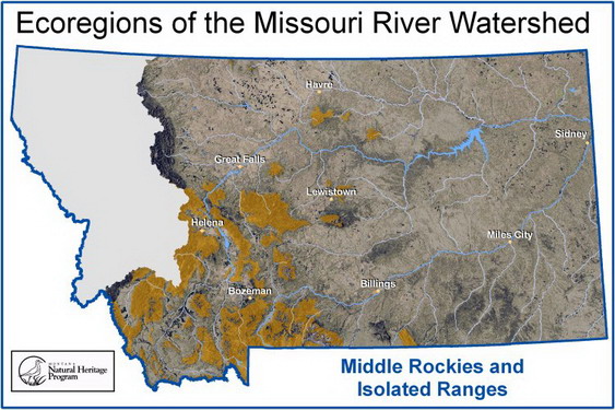
Foothills and Valleys Ecoregion Key

1 1st - 2nd order or <15 miles long Go To 2 Below
1 3rd - 4th order or 15 - 60 miles long Mountain Stream
1 5th order or >60 river miles and a direct tributary of the Intermountain Transitional River Small Transitional Foothills River
2 1st or 2nd order, elevation >2400m, hydrology driven by alpine snowmelt Alpine Stream
2 1st order, elevation from 1500 to 2400m, hydrology fed by ground water discharge Mountain Spring

Ecoregions are based on Omernik’s Level III Ecoregion delineations (see Woods, A.J. et al. 2002. Ecoregions of Montana. 2nd edition poster).The Northwestern Great Plains are the Northwestern Great Plains Level III Ecoregion (#43).